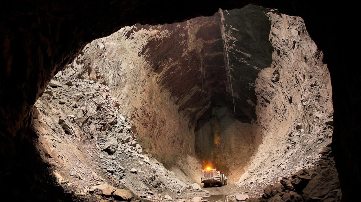
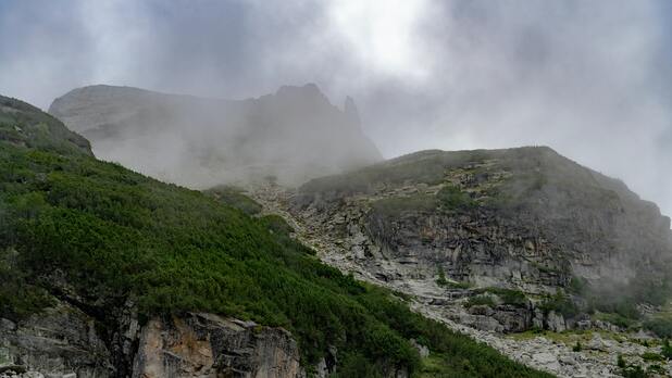
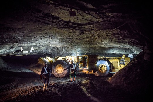
Mineral exploration  

AGEMERA will quantify the Critical Raw Material potential in Europe by providing a clearer picture of our potential resources, from areas which have been overlooked or underexplored until now. To do that, we have singled out and set to analyse the potential of 7 target sites, from 3 points of view: 
Mineral exploration

Geological potential to decide if the resource can be exploited in an environmentally and socially friendly way

Ecological, economic, and social responsibility to uncover local's perception about the mineral sector, and its impact on policy-making. 

The Peräpohja Schist Belt (PSB): Paleoproterozoic volcano-sedimentary basin, Karelian Province, northern Finland.

There are large unexplored portions of the PSB, and focused exploration for Co-Au-Cu deposits has not before taken place on the Petäjäinen and Oikarainen project areas. As such, the search space for targets areas that can be advanced for drill testing is vast and will require much time to explore by foot or great expense to cover with conventional airborne geophysical surveys. We ;propose a drone-based solution, that would significantly expedite the exploration process with a cost-effective method and minimal social and environmental disturbance. 

The bauxite-bearing Jajce (343 km2) is located NW from the city of Jajce in the central part of Bosnia-Herzegovina

Jajce is the biggest mining city in the northern part of Bosnia-Herzegovina, a region well known for the exploitation of karst bauxite resources. Because of the depth of bauxite deposits, the potential ore bodies are concelead and do not outcrop. The exact location of drilling targets could not be identifed so far because of missing high-resolution data.

We will conduct drone measurements over 343 km^2 in the Jajce area and 620 km^2 in Posušje area. We will combine 5 different methods to define the optimal procedure to delimit complex bauxite deposits. 


The Iberian Pyrite Belt (IPB) is located in the SW of the Iberian Peninsula and it is about 250 km long and 50 km wide.
The IPB contains two types of volcanoegenic massive sulfide (VMS) ore deposits that can be economically profitable. The problem is that mineral deposits here are located at a high depth, which makes identifying targets for drilling very difficult. The exploration strategies in the IPB require modernization - and we plan to do just that by using seismic methods. 
Panagyurishte is one of the major ore districts in the Apuseni-Banat-Timok-Srednogorie (ABTS). It is located in Central Srednogorie, Bulgaria.

Panagyurishte is part of Europe’s most extensive belt of calc-alkaline magmatism and Cu-Au mineralisation.In this region, we have over 120 ore occurrences for which the CRM potential has remained unexplored. Partly, this is because many exploration companies minimise the use of remote sensing data collecting and they prefer to use more expensive methods, or even risky drilling, instead. We want to combine the structural data and studies we already have with muography and drone geophysics supported remote sensing to develop a new dataset. This will provide us with a clearer picture of the mineral exploration potential in this area. 

Zinnwald is an advanced, integrated lithium project, located 35 km from Dresden in a historic granite hosted Sn-W-Li belt.

The AGEMERA project will support the identification, assessment, and utilisation of Europe's own vital raw material resources in a way that is socially, ecologically, and economically viable, concentrating on evaluating new, existing and historical mining regions. AGEMERA will conduct surveys in Germany's Erzgebirge region to assess local views on mining and mineral exploration, which is crucial for understanding the Social Licence to Operate (SLO). Additionally, public events will be organised to highlight the importance of critical raw materials and promote sustainable European production practices. These events aim to engage stakeholders in fruitful discussions. Even though the Erzgebirge region is designated as a backup site for AGEMERA's technologies, it is currently not scheduled for field surveys.


The Lubin Underground Copper and Silver Mine is the oldest mine in the Polish Copper Belt, located in western Poland.
Exploration at great depths (over 1000 m) in this mine entails certain risks, such as seismic activity, rock bursts or caverns filled with gas and water. This threatens the crew’s safety and the continuity of the operations. Considering the current pace of mining and the geophysical systems in use, at the moment, it is impossible to mitigate these risks unless something is done. We will integrate geological and geophysical data and muography to obtain accurate 3D models of deposit and surrounding rock mass, which will in turn help us mitigate risks and prepare for potential hazards.
The Central Africa Copperbelt of Zambia and DRC is hosten within the Lufilian Fold Belt - the world’s largest grade, sediment-hosted stratiform copper district.

The Zambian Copperbelt has been significantly affected by salt tectonics, which makes it challenging for us to understand the CRM potential. To address this problem, we will use all the data and maps produced at the Geological Survey of Zambia and integrate it with drone-based high resolution electromagnetic and magnetic data.